Alabama, Houston County, Dothan
![]()
Side 1
This quaint turn of the century farmhouse originally stood on an 80 acre farm, located 2 miles west of the Houston County Courthouse. The house was built by Bud Bush of heart pine lumber from the sawmill owned and operated by Lesker H. Waddell. In 1906 Mr. Waddell purchased the house and acreage, completely furnishing it during the next three years. In 1909 he brought his bride, Gypsy Hall, to live on the farm. Three children, Earl, Byrd and Iona were born in this house. The house and furnishings remained unaltered until the death of Mrs. Waddell in 1976. Mr. Waddell died in 1956.
Side 2
This house was threatened with destruction by Dothan's rapid growth. In 1978 the Waddell Family donated the house and outbuildings to the Dothan Landmarks Foundation. In January 1979 these buildings were moved to this site as the first phase toward the development of the Landmarks Center for Natural Science and History.
Today this house and surrounding land stand as a living memorial to the early farmers of the Wiregrass Area who contributed so much to our heritage.
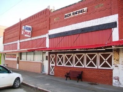
(Notable Buildings) Includes location, directions, 4 photos, GPS coordinates, map.

Side 1
This quaint turn of the century farmhouse originally stood on an 80 acre farm, located 2 miles west of the Houston County Courthouse. The house was built by Bud Bush of heart pine lumber from the sawmill owned and operated by Lesker H. Waddell. In 1906 Mr. Waddell purchased the house and acreage, completely furnishing it during the next three years. In 1909 he brought his bride, Gypsy Hall, to live on the farm. Three children, Earl, Byrd and Iona were born in this house. The house and furnishings remained unaltered until the death of Mrs. Waddell in 1976. Mr. Waddell died in 1956.
Side 2
This house was threatened with destruction by Dothan's rapid growth. In 1978 the Waddell Family donated the house and outbuildings to the Dothan Landmarks Foundation. In January 1979 these buildings were moved to this site as the first phase toward the development of the Landmarks Center for Natural Science and History.
Today this house and surrounding land stand as a living memorial to the early farmers of the Wiregrass Area who contributed so much to our heritage.
(Notable Buildings) Includes location, directions, 4 photos, GPS coordinates, map.

 In November 1887 nine charter members organized the First Baptist Church of Dothan. In 1888 the Church erected a one room frame structure at 205 South Saint Andrews Street.
 In April 1903, the Town of Cottonwood was incorporated, making it the first town established in Houston County. The town's name may have come from either Mr. Wood, an influential land owner, or from the softwood trees growing in the area. General stores, a bank, mills (turpentine, grist, timber, etc.) sprang up. At least two lumber companies constructed logging railroads through the town. One remained in service into the 1940s as a freight service from the Cowarts area to Bascom, FL. The early 1920s saw an interest in drilling for crude oil in the area. Several attempts would find only a hot mineral water spring. Mr. J. R. Sealy capitalized on this find and established an internationally known health spa. The Sealy Hot Mineral Springs remained in business until fire destroyed it in 2001. At the 2000 census, the population of Cottonwood was 1,170.
 On this site stood the birthplace of
 Birthplace of General Thomas J. “Stonewall” Jackson. After a brilliant Mexican War record, he joined the Confederacy in 1861, earned his nickname and advancement in rank in first Battle of Bull Run, and was killed at Chancellorsville.
 Built in 1894 and named in honor of Reverend George Towers, graduate of Oxford, England who was a teacher at Randolph Academy. The Academy, authorized by the Virginia Assembly in 1787, stood just to the east and was the principal regional school from 1795 to 1843. The Northwestern Virginia Academy, incorporated by the Virginia Legislature in 1842, occupied this site from 1843-1893.
 Harrison County was among the first jurisdictions in western Virginia to support the Union. A pro-Union meeting was called for November 24, 1860, at the Clarksburg Courthouse, just after Abraham Lincoln had been elected president and many Southern states were talking of secession. An anonymous Clarksburg resident wrote prophetically on January 12, 1861, "We intend if eastern Virginia secedes to raise the banner of separate State sovereignty in Western Virginia and remain in the Union."