Islip, New York.
![]() Site of Doxsee Clam Factory 1866 - 1905
Site of Doxsee Clam Factory 1866 - 1905
(Industry & Commerce) Includes location, directions, 2 photos, GPS coordinates, map.
 Site of Doxsee Clam Factory 1866 - 1905
 (Industry & Commerce) Includes location, directions, 2 photos, GPS coordinates, map.
 Town of Huntington Whitman's Hollow Sight of muster & training ground for Minutemen before British occupation 1776 - 1783
 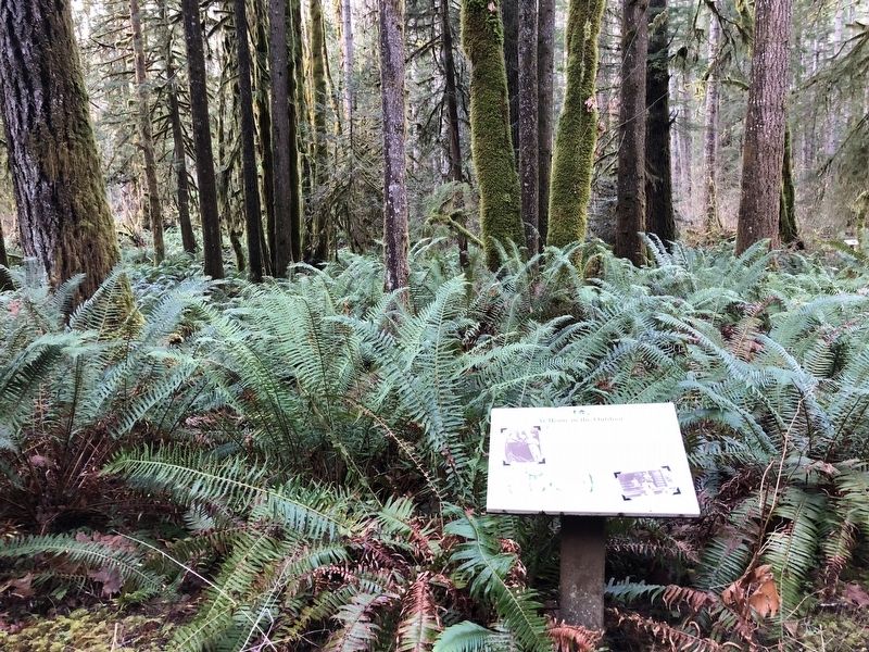 Early Forest Rangers were custodians of the forest, riding horseback over mountain trails and camping out, protecting the forest from fires, poachers, and trespassers. Most were outdoorsmen, former cowboys, trappers and . . .
  First concrete limited access highway, built by W. K. Vanderbilt: A. Pardington engineer 1908 - 1910
  The first museum in Los Angeles. Dedicated to the Native Peoples of the Southwest Declared Historic-Cultural Monument No. 283.
 It is not wonder that the churning fishing hole one mile down this trail is called Ranger Hole. Emery Finch, and many other early Rangers were avid fishermen, wearing a well traveled path between the cabin and their favorite . . .
  Founded 1885 Church erected 1888 Church enlarged 1942 Only congregation in Rockville Centre still in its original building
  Opened February 20, 1892 First public high school on South Shore of L.I. R.V.C. Village Hall 1924 Renovated 1978
  Scott’s Run Veterans Memorial ( left panel ) The Purseglove Community Honor Roll The following names were listed on the original program of the honor roll dedication of Sept. 16, 1945 ( 325 names are listed ) ( right . . .
  Dedicated to the Memory of Those Who Made the Supreme Sacrifice And Those Who Served in the Armed Forces Of Our Country
  Matamoras Ohio 1846 James Riggs Family First Settlers on the Site of Matamoras in 1797 Founded in 1846 by Stinson Burris, Adam Cline and Henry Sheets Incorporated in 1861 Named after Matamoros, Mexico Industry — Farming . . .
  1917 — 1918 Alice Young · Carl Henkelman · Winton Newman · Raymond Jones · John L. Gorum · Edward Rush · Howard Mount · David Dunn · William Hanlon · Robert Haught · Mersom Roberts
 Frontier Boat Launch Partners in Action – Working together to serve people and care for the land of southeast Ohio The Frontier Boat Launch opened in spring 2011. Ohio is in the top ten in the nation for boating, with . . .
  (English text): As the ruins of Ephesos had already appeared in the travel reports of the 17th -19th centuries, the British Museum in London began archaeological investigations at Ephesos. The architect, John Turtle Wood, . . .
  During World War II, R.A.F. Debden Airfield, England, was home to the 4th Fighter Group, 8th Air Force, from September 1942 to September 1945. Vanguard Yanks of the 71st, 121st and 133rd R.A.F. Eagle Squadrons traded R.A.F. . . .
  This Memorial is Dedicated to the Men who During World War II Served with the 351st Bombardment Group (H) from May 1943 to June 1945 Based at Polebrook England, while flying B-17 type aircraft, they carried the air war deep . . .
  "Whitehaven is situated at the head of the Lehigh Navigation, and some eight or ten miles above the commencement of the coal formation. Its trade is therefore confined to the running of lumber; and this, judging from the . . .
  "Trees one after another were… constantly heard falling. In a century, the noble forests around should exist no more.” John J. Audubon Naturalist In the woods next to the river are the ruins of the Lehigh Tannery and a . . .
  "Built in 1850, the (inclined) planes were 1,200 feet long and 430 feet high. As a loaded car descended on one plane. it would draw an empty car up the other plane." John Koehler, Railroad Historian, Weatherly You are . . .
  “Our residents take pride and partner in their heritage—they understand the meaning of what we have and act to preserve it” Delaware & Lehigh National Heritage Corridor and State Heritage Park, Management Action Plan. . . .


