near Wolf Creek, Oregon.
![]() Jesse and Lindsay Applegate, members of the first wave of Oregon Trail emigrants, watched their ten-year old sons drown in the Columbia River when a boat overturned in the rapids near The Dalles in 1843. Once their families . . .
Jesse and Lindsay Applegate, members of the first wave of Oregon Trail emigrants, watched their ten-year old sons drown in the Columbia River when a boat overturned in the rapids near The Dalles in 1843. Once their families . . .
(Cemeteries & Burial Sites • Roads & Vehicles • Settlements & Settlers) Includes complete text, location, directions, 2 photos, GPS coordinates, map.
 Jesse and Lindsay Applegate, members of the first wave of Oregon Trail emigrants, watched their ten-year old sons drown in the Columbia River when a boat overturned in the rapids near The Dalles in 1843. Once their families . . .
 (Cemeteries & Burial Sites • Roads & Vehicles • Settlements & Settlers) Includes complete text, location, directions, 2 photos, GPS coordinates, map.
 . . .
. . .  Simpson County is located in the Gulf Coastal Plain within the Pearl River watershed, and is graced with numerous rivers, streams, and springs. One such spring is McNair Springs, which along with Saratoga Springs, feeds the . . .
  In April 1955, Emmanuel Baptist Church held its first meetings, thus becoming the earliest Southern Baptist Church to minister to Lafayette's southside neighborhoods.
 Wetlands are described simply as any area that floods regularly and supports plants that are adapted to flooding. Wetlands have been disappearing at an alarming rate in the United States and elsewhere. For example, although . . .
  Early Settlement and Historic Preservation The area was first settled in the early 1800s. In 1840, Willie Magee built a grist mill on Little Goodwater Creek, inside the present city limits. The community grew and in 1900 was . . .
  Early Development: Braxton has its origins in the late nineteenth century, the community having formed around the medical.clinic and subsequent residence of Dr. E. L. Standifer, who moved his family from the Cato Community. . . .
  The flags of four nations—five, including the Confederate States of America—have flown over the territory that is now Simpson County. While the Spanish explorer DeSoto passed through Mississippi in the mid-1500s, the French . . .
  Cypress Island Preserve supports many alligators, including in some of the largest in Louisiana. While visiting the preserve between March and October, you may see alligators up to 10-15 feet long along the western edge of . . .
  In Memoriam 1st. Lt. Douglas B. Fournet May 7, 1943 - May 4, 1968 Awarded The Congressional Medal of Honor Posthumously by PRESIDENT RICHARD M. NIXON For Conspicuous Gallantry And Willing Sacrifice "Greater Love Hath No . . .
  The domed Federal-style Adams County Courthouse appears in Audubon's 1822-1823 painted landscape of Natchez. Built in 1817, this courthouse in the oldest in Mississippi. It was remodeled in 1925. Actions at the courthouse . . .
  The Vermilion is a tidal river formed from the bottom up by Vermilion Bay tides and other natural actions that slowly eroded inland from the marshes and cheniers and through the Louisiana prairie. The Vermilion River, also . . .
  Professional dealers, traffickers and speculators, by purchase, by hook, crook and sometimes outright kidnapping, tore apart mothers, fathers, daughters, sons, brothers, sisters, uncles, aunts, cousins, babies, young . . .
 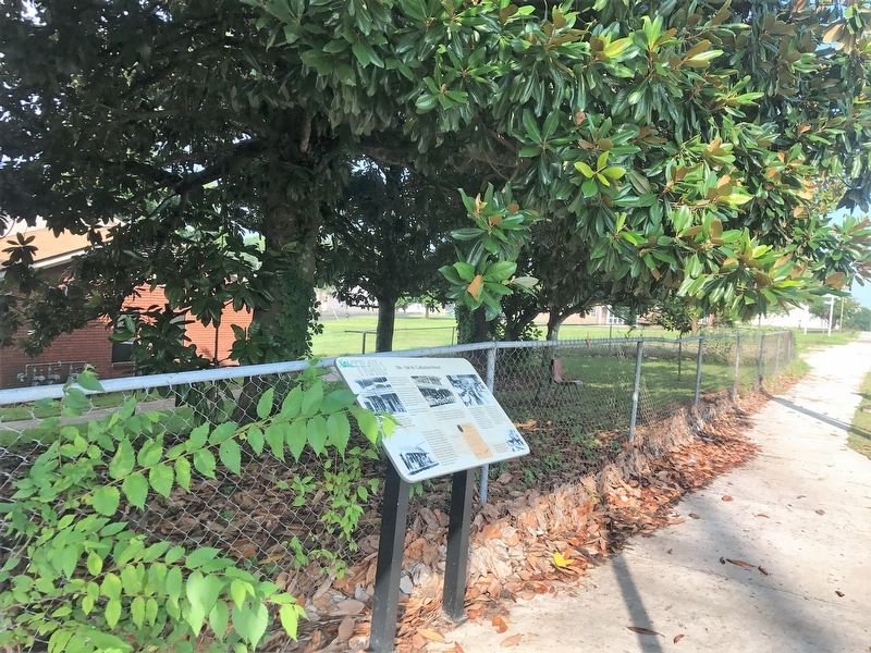 The 1928 Natchez City Directory lists Italian immigrant Sam Anzalone as operating a grocery store at 158-160 St. Catherine Street where he sold gasoline for 21 cents a gallon. Many of the late- nineteenth-century Italian . . .
  This monument is Dedicated to honor all Who gave their lives in Defense of their country
 On this cold and windy morning, the Wrights achieved the world’s first controlled flights. Here, they realized not only their own dream—but also one of humanity’s oldest dreams—to fly! The boulder and numbered markers on the . . .
  On December 17th, 1928, only 25 years after the Wrights achieved flight, three thousand people from over forty nations gathered at this remote place to celebrate the global importance of the birth of flight. The National . . .
  After four years of scientific research and rigorous experimentation, and with their 1903 Flyer on the rail, the Wrights are set to fly. In unison, they each pull down on a propeller. The engine roars to life and the . . .
  The 1930 excavations employed WPA laborers to investigate mounds B and C. The archaeologists discovered that the Natchez built these mounds by layers. After using an earthen platform for an undetermined length of time, the . . .
  When the Wright brothers were here, Big Kill Devil Hill—the hill in front of you—was a massive sand dune. Thousands of times, the brothers trekked up this and three nearby dunes to conduct glider experiments. Climbing the . . .


