near Jayton, Texas.
![]() Named for a Mr. Putoff, early settler. In region of Salt Water, canyon was noted for its freshwater spring "strong enough to swim a horse". Area was a resort, 1900-1914, for many artists. Western writer Zane Grey used region . . .
Named for a Mr. Putoff, early settler. In region of Salt Water, canyon was noted for its freshwater spring "strong enough to swim a horse". Area was a resort, 1900-1914, for many artists. Western writer Zane Grey used region . . .
(Natural Features • Waterways & Vessels) Includes complete text, location, directions, 3 photos, GPS coordinates, map.
 Named for a Mr. Putoff, early settler. In region of Salt Water, canyon was noted for its freshwater spring "strong enough to swim a horse". Area was a resort, 1900-1914, for many artists. Western writer Zane Grey used region . . .
 (Natural Features • Waterways & Vessels) Includes complete text, location, directions, 3 photos, GPS coordinates, map.
 An excellent example of early 20th century classical revival style, the First National Bank of Jayton was erected about 1912 by descendants of early Kent County pioneers. Classical features of the edifice, such as the . . .
  On Indian-infested frontier 125 miles beyond Fort Belknap and outer settlements. Northernmost business in Confederate Texas. Established at great risk, to obtain salt, scarce during Civil War and vitally needed to cure meat, . . .
  The salt flats were formed as ancient Lake Bonneville slowly evaporated and deposited concentrations of salt onto this playa. Shorelines carved into the mountainsides are visible to the north along the Silver Island range . . .
  "The roads were gravelly round the end of some high rocks. Barren mountains (Silver Island)." -- Robert Chalmers, July 27, 1850
 Built, 1894, of red sandstone quarried nearby. Horse and cattle thieves, murderers, moonshiners most common prisoners. One of most difficult West Texas jails from which to escape. No attempted break successful. Recorded . . .
  First known Eastland area inhabitant was Frank Sanchez (d. 1867), who grazed herds here in the 1850s. The United States in 1853 established Army posts at Fort Phantom Hill, in present Taylor County, and Fort Belknap, in . . .
  First Christian Church organized in Eastland in 1878 under the Rev. Cyrus Scarborough. There were a number of important Eastland leaders, including city founders, among the church’s early membership. In 1886, the . . .
  The Texas Legislature created Eastland County in 1858, but sparse settlement delayed organization until 1873, when Merriman (8 mi. NE) became the first county seat. Charles Connellee and Jack Daugherty platted the new town . . .
  passed this way on the 2nd of September 1846, having lost 36 oxen, several wagons, and suffered much. "Don't look for SHORT-CUTS"
 The mercantile store was the last building constructed for the Brigham City Co-op. Three years after the store opened, a fire broke out. Financial losses from the fire shut down the business a year before the cooperative . . .
  County seat, Eastland County. Named for William M. Eastland—Texas War for Independence hero who was in Mier Expedition against Mexico, and was executed in "Black Bean" lottery at Rancho Salado in 1842. Most noted early local . . .
  This bell was brought to Corinne by Hyrum House to warn the community at times when the water was to be shut off. In 1896 it was used to ring in Statehood for the State of Utah. It was rung so hard that day, that it cracked, . . .
  1870 This is the oldest extant Protestant Church building in Utah. It was dedicated by Chaplin C.C. McCabe and Reverend G.M.Peirce on September 20, 1870
 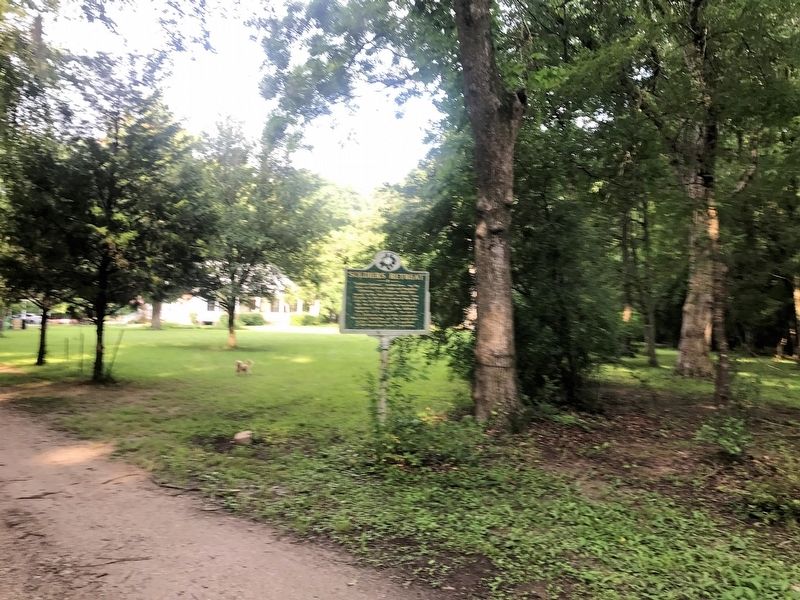 "Soldiers Retreat," located here, was the home of Ferdinand Leigh and Magdaline Claiborne. F.L. Claiborne (1772-1815) moved to the Mississippi Territory from Virginia in 1807 and served as Brig. Gen. with the 1st Mississippi . . .
  Constructed in 1909 at a cost of about $7000, this building original housed the city fire department on the main floor and city offices on the second floor. It also had a jail in the southeast corner and "hobo apartments" in . . .
  On this site the Corinne Opera House, for many years the largest recreation center in Utah outside of Salt Lake City, was erected in 1879. Built of red pine lumber with square nails, the leading stock companies, California . . .
  The evolution of Eastland banks reflects local economic conditions and global influences. Soon after the Texas and Pacific Railway reached town in October 1880, a Mr. Berry of Stephenville opened the first bank in Eastland . . .
  The Bankhead National Highway, from Washington, D.C. to San Diego, California, was the nation’s first all-weather, coast-to-coast highway. The southern road skirted the western mountains and was largely free from ice and . . .
  In 1870 the first U.S. Government weather station in Utah was erected on this site by the War Department Signal Service, U.S. Army Division of Telegrams and Reports, for the benefit of commerce. The observer was William W. . . .


