Gering, Nebraska.
![]() Robidoux Pass was named for Joseph Robidoux III of St. Joseph, Missouri, who established a trading post and blacksmith shop here in 1849, just in time to witness the beginning of the great California gold rush. This pass is . . .
Robidoux Pass was named for Joseph Robidoux III of St. Joseph, Missouri, who established a trading post and blacksmith shop here in 1849, just in time to witness the beginning of the great California gold rush. This pass is . . .
(Settlements & Settlers • Roads & Vehicles) Includes complete text, location, directions, 2 photos, GPS coordinates, map.
 Robidoux Pass was named for Joseph Robidoux III of St. Joseph, Missouri, who established a trading post and blacksmith shop here in 1849, just in time to witness the beginning of the great California gold rush. This pass is . . .
 (Settlements & Settlers • Roads & Vehicles) Includes complete text, location, directions, 2 photos, GPS coordinates, map.
 In 1849 Joseph Rogidoux III of St. Joseph, Missouri, licensed in the Indian trade, ordered removal of his outfit from the vicinity of Fort Laramie to this strategic pass over Scotts Bluff, where there was ample wood and . . .
 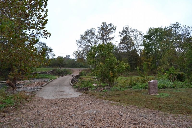 Through Shut In Gap passed the most direct route from the Arcadia Valley to Fredericktown. Advance elements of the rebel army rode through the gap undetected and were not spotted until they approached a Union picket post at . . .
  The three towns of Arcadia, Ironton, and Pilot Knob are located in the Arcadia Valley. The valley’s iron mining industry helped spur population growth and led the St. Louis & Iron Mt. Railroad to extend its tracks to Pilot . . .
  Slemons’ brigade, riding in advance of the rebel army, was first spotted at 1 p.m. by pickets here at the Russellville Junction. After the pickets had sounded the alarm, a cavalry patrol rode here to verify the pickets . . .
  On this hillside stood Ft. Curtis. It commanded the high ground overlooking the junction of the road that connected Ironton and Pilot Knob with Fredericktown. In 1863 it was abandoned for Ft. Davidson because it was too far . . .
  El nombre maya de la ciudad se aprecia en su jeroglífico emblema que representa la cabeza de un loro y fonéticamente se lee como Yax (verde-azul) ha (agua). El conjunto urbano fue ocupado durante dieciséis siglos (600 a.c. - . . .
  Before the park was developed in 1974, this valley was rich with farmland and timber. Seven farms worked the soil and grew corn, winter wheat and rye. Two of the farms raised dairy cows. The Raines family farm had . . .
  Complejo Astronómico Menor (Plaza C) Los edificios que conforman el complejo fueron construidos entre el 700 y 800 a.C., se considera que debajo se encuentran construcciones aún más antiguas. El conjunto representa una . . .
  Originally called "Cokie" (from Coquille) because of the abundance of shells in the area. Renamed for Pres. James Madison, c. 1811. Site of Navy Yard in early 1800's. According to legend, Gen. Andrew Jackson, enroute to New . . .
  To her hero members who took part in the World War of 1917-1918. Henry Dardenne Killed In France Dr. H.F. Vulliamy • Dr. A.A.Landry, M. Tullie • Joe Thibodeaux, W. Richard • Elmer Schuler, W.P. Obier • W.H. Hakenjos, C.C. . . .
  Field Headquarters - Army of Tennessee. General Braxton Bragg. September 20, 1863. Polk's Corps - General Leonidas Polk. Hill's Corps - Lieutenant General Daniel H. Hill. Longstreet's Corps - Major General John B. Hood. . . .
  Intersección de Calzada Este y Calzada de las Canteras (Calzada Este y Calzada Lincoln) La zona de intersección de las calzadas forma una amplia plaza donde desembocó el mayor flujo de personas y recursos de Yaxhá. En el . . .
  C.S.A. Georgia. 1st Battalion Sharpshooters. Major Arthur Shaaff. Wilson's Brigade. Walker's Division. 8:30 A.M., September 19, 1863.
 C.S.A. Georgia. 30th Infantry. Colonel Thomas W. Mangham. Lieutenant Colonel James S. Boynton. Wilson's Brigade. Walker's Division. 8:30 A.M., September 19, 1863.
 Buford Mountain William Buford, namesake of Buford Mountain, was buried in 1842 at its base, forever to be with the mountain he loved. Its southernmost of five knobs reaches to 1,740 feet above sea level. “Just bury me by . . .
  Glades are Special Places Like islands in a sea of trees, rocky openings called glades are scattered across the mountainsides. Glades are very significant features of the St. Francois Mountains. They are common throughout . . .
  The St. Francois Mountains This area map shows the extent and location of Missouri’s St. Francois Mountains. This portion of the Missouri Ozarks is known as the St. Francois Mountains, characterized by high rounded knobs of . . .
  Indiana Thirty-Eighth Regiment Infantry. (Griffin) First Brigade. (Scribner) First Division. (Baird) Fourteenth Corps. (Thomas) Saturday, September 19th, 1863, 10 a.m. to 11 a.m.
 Text from the First Tablet: Liddell's Brigade Liddell's Division, Walker's Corps. Colonel Daniel C. Govan. September 19, 1863, 3 p.m. 2nd and 5th Arkansas, - Lieutenant Colonel Reuben F. Harvey. 2nd and 5th Arkansas, - . . .


